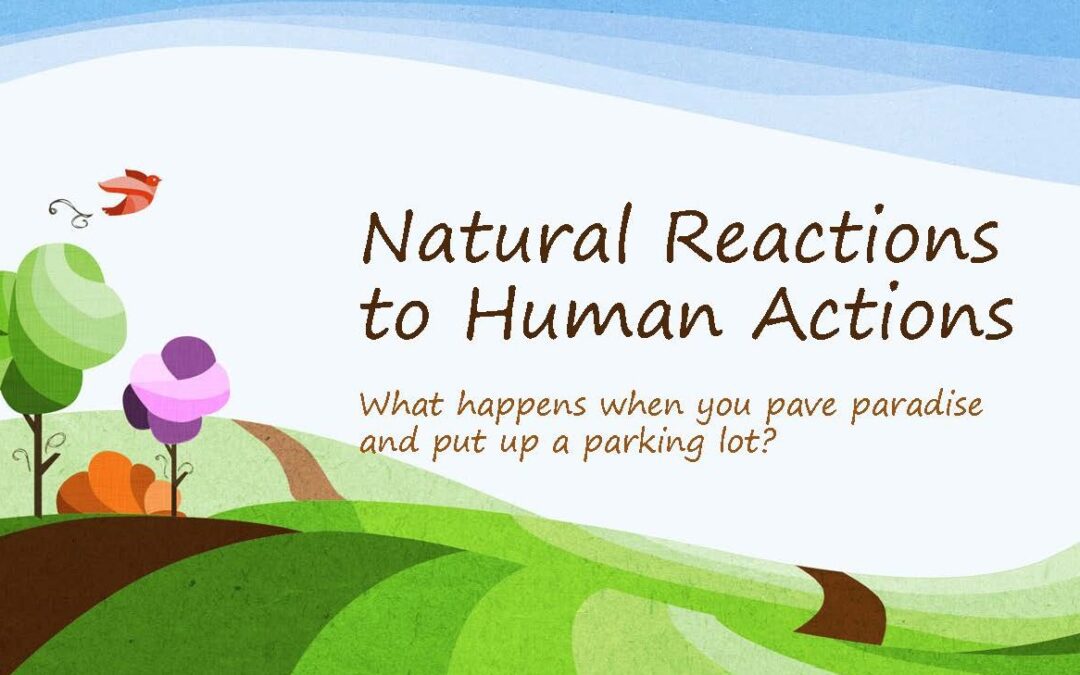
This past summer the community was invited to provide input on Culver’s Destination 2040 plan, a collaborative effort to build upon the legacy of the previous Comprehensive Plan and the Stellar Plan to move forward together. It is a guidance document for future growth and development focusing on the next 10 to 20 years.
A more immediate effort than the Culver 2040 Plan is The Dunes housing project under consideration. I understand that several studies have identified a housing shortage in Culver. This article is not about discussing the merits of that conclusion but rather the fact that new development inevitably involves converting pervious (natural) surfaces into impervious (hard) surfaces. That has an impact on the watershed and ultimately, the health of the lake.
It reminds me of the lyrics in a Joni Mitchell song:
“They paved paradise and put up a parking lot.”
I actually did an entire presentation on this subject a few years ago, with Plymouth as the focus.
To be clear, I am not anti-development nor anti-growth. I fully support and commend Culver’s town leaders for having a plan and asking for input. The point I am making is, while moving toward one specific goal, in this case a housing shortage, are we moving towards a “tipping point” that, once reached, isn’t easily reversed?

What is a Tipping Point?
A tipping point is a threshold of human induced ecological stress that can result in changes in how ecosystems function. According to Purdue University’s Tipping Point Planner, to protect natural resources and enhance community resiliency, it is crucial to:
- Understand human-induced ecological stress
- Identify indicators of natural resource conditions
- Determine tipping points that trigger rapid and sometimes irreversible shifts in ecosystem functions
Tipping Point Planner | Purdue University Sustainable Communities
Research shows that even very low levels of urbanization within a watershed introduces water quality degradation and negative impacts to aquatic communities (Booth and Jackson, 1997; Yang et al., 2010). These studies show that when watershed land area is converted to impervious surface area (parking lots or paved roads) of greater than 8-15%, the watershed crosses a possible ecological tipping point.
A Logical Question
If 8-15% impervious surface in a watershed could move a community past the ecological tipping point, the logical question is:
“What is the current percentage of impervious surface in the Lake Maxinkuckee watershed?”
I’m so glad you asked because I’ve been trying to track down that number for quite a while!
I finally found a website, EPA’s EviroAtlas, which allowed me to determine the percentage quickly and easily. I am happy to report that the Lake Maxinkuckee watershed percentage of impervious surface is just under 4%. Which means it is nowhere near the 8-15% number that would suggest cause for alarm when talking about impervious surface in the watershed.
That doesn’t mean that future development should proceed without regard to the environmental impact it may have on the watershed and lake, but that we have some breathing room in reference to hard vs. natural surfaces around the lake.
I brought the Tipping Point Planner to the attention of the Director of Sustainability at MACOG (Michiana Area Coalition of Governments), the group helping with the Culver 2040 plan, who in turn passed it along to the Community Development staff and recommended they look into the Tipping Point Planner program and familiarize themselves with the tools.
The more tools we have and people working towards “Keeping Our Lake Healthy,” the better!
Hi, I’m Debbie Palmer. I received a BS in Horticulture from Purdue University. Here at LMEF, I am responsible for outreach presentations, monitoring the lake and it’s wetlands, project manager for restoration and research projects, and act as a community resource for all things related to the well-being of Lake Maxinkuckee and its surrounding watershed. I completed Indiana Watershed Leadership Academy, volunteer with the Indiana Clean Lakes Program, Hoosier River Watch and Marshall County Lakes and Waters and serve as a Board Member for Indiana Lakes Management Society.
Recent Comments